The Changing Mapscape of West Boylston
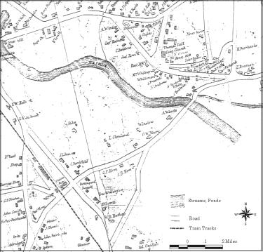
Map of West Boylston, 1855, courtesy of
the West Boylston Historical Society
The railroad tracks on the left
still exist and currently run just to the south of the reservoir.
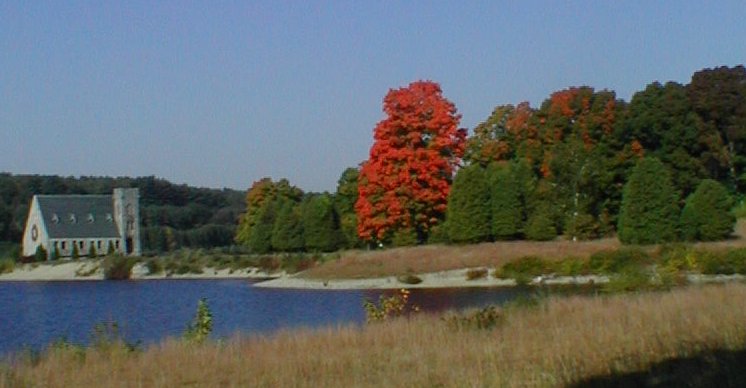
During the 1800s, West Boylston, a town in Central Massachusetts, went from being a small rural town on the frontier to being a mill town with two railroad lines. The Nashua River was harnessed by at least a dozen mills in the valley, mostly in what is now Oakdale.
This Web site shows how the mapscape of West Boylston changed as a result of the building of the Wachusett Reservoir. There's an interactive graphic, Where Am I?, where you can select spots on an old map of West Boylston and find out if the reservoir later covered it. Since this project started as a GIS project, I've included most of the GIS database field descriptions. Anyone doing GIS work about the Wachuesett area is welcome to use my proposed database as a starting point.
Finally, even though it does not directly deal with the Wachusett Reservoir, I've included an essay on the evolution of American health care.
Official West Boylston Pages
If you are interested in the history of West Boylston, I highly recommend the recently reissued The History of West Boylston by Helen Maxwell Hamilton. This book is available from the historical society at PO Box 201, West Boylston, MA 01583.